
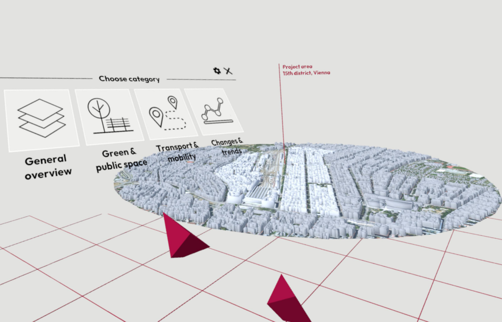
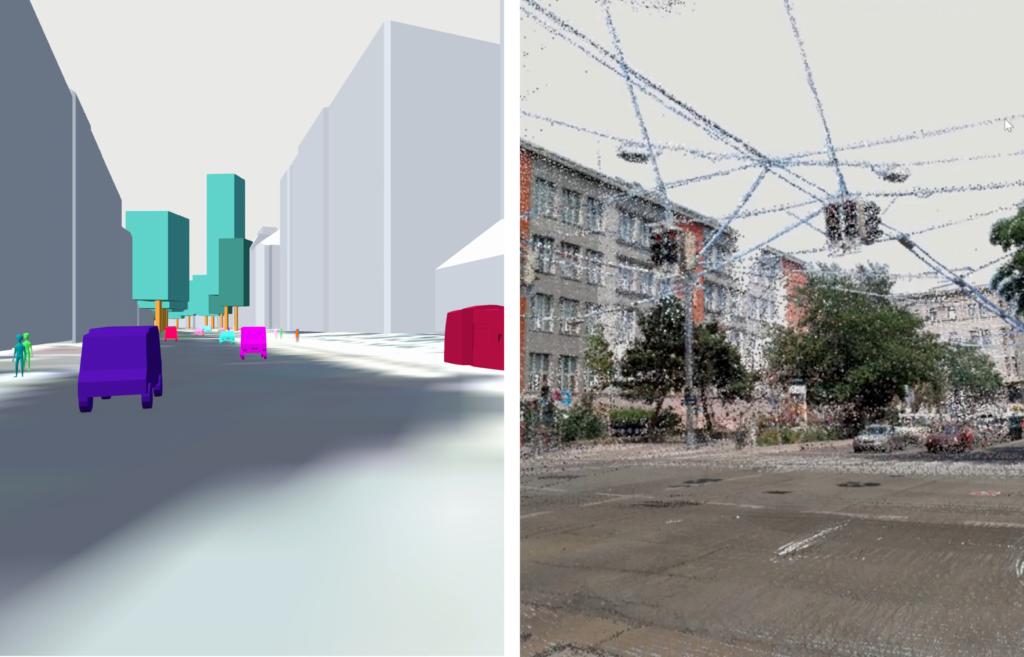
Inside Cities is a virtual reality tool for immersive urban analysis across multiple scales, initially developed as my diploma thesis.
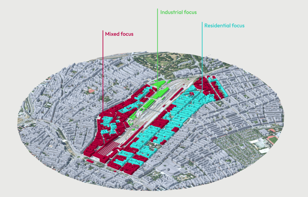
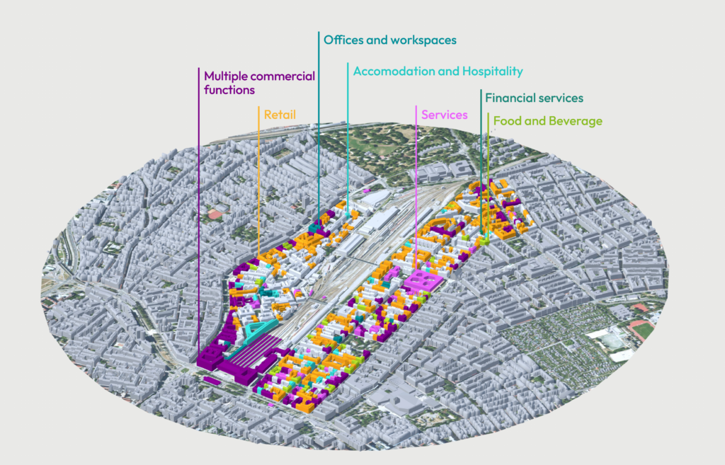
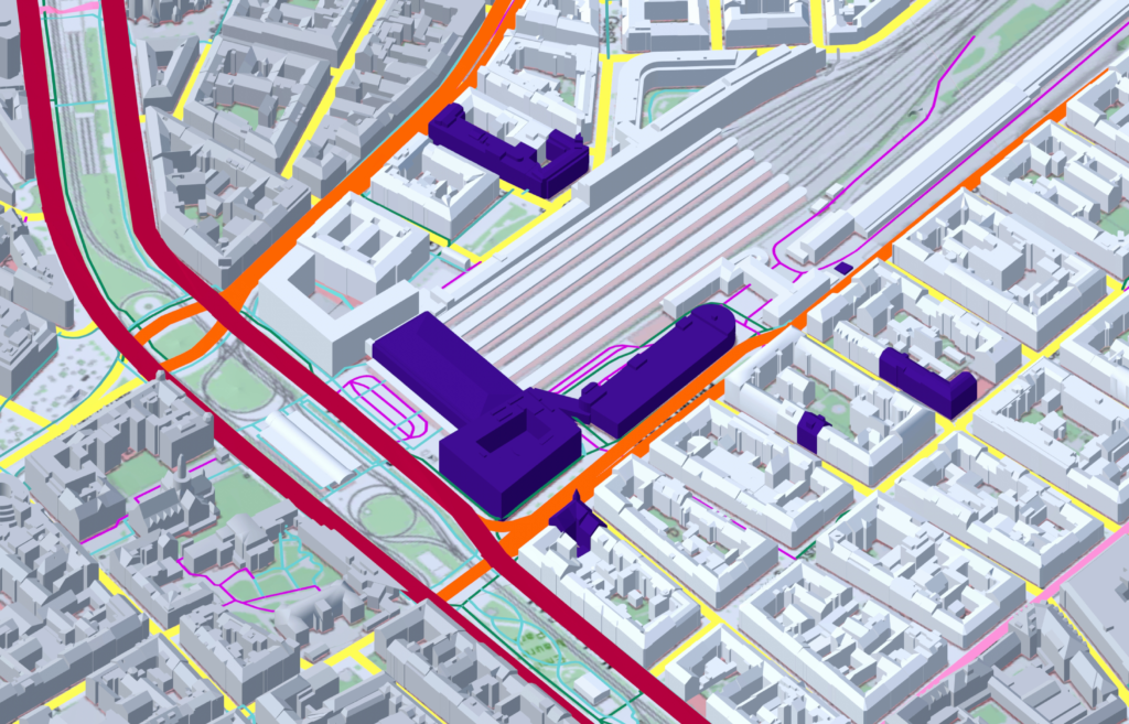
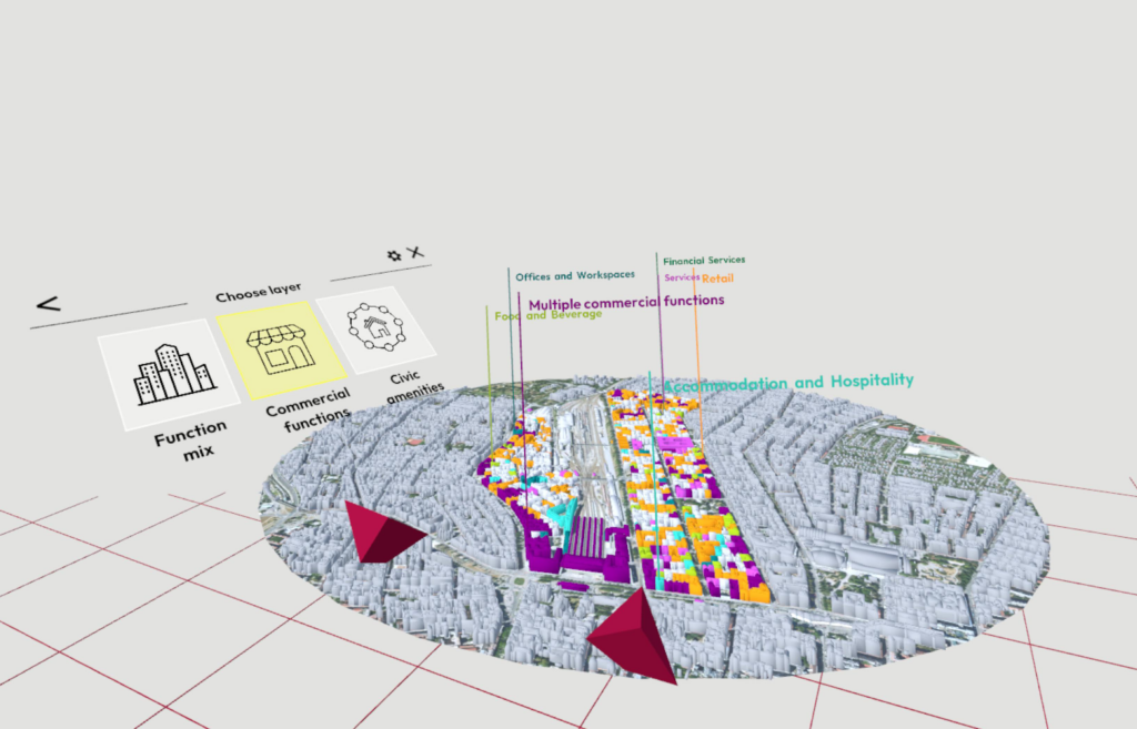
Utilizing Open Government Data and OpenStreetMap information, the tool automates the processing of urban data, saving time and resources typically required for data collection, processing, and display. By providing a visual spatial representation of urban environments and data, it simplifies access to essential information for architects, urban planners, and the public, making complex information comprehensible.
The experience starts at a 1:2000 scale, allowing for an initial overview of the area. The user can choose to reposition, rotate, and rescale the model to experience different scales of the urban model.
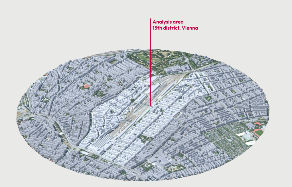
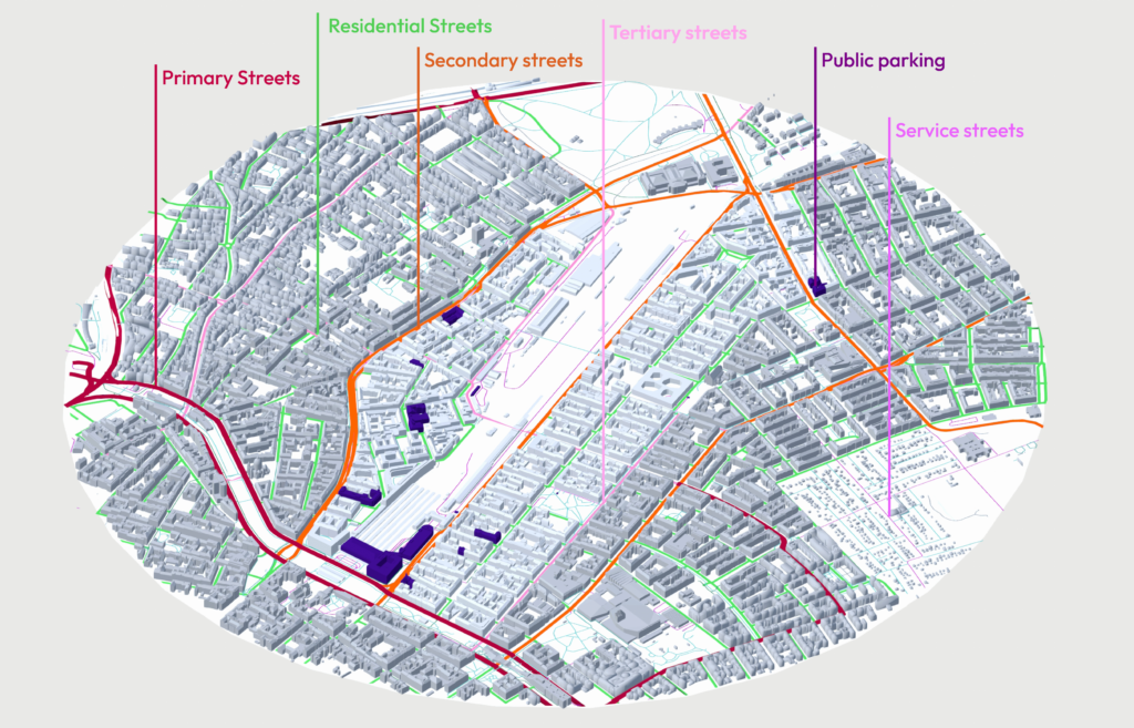
The tool was tested in a typical urban setting in Vienna‘s 15th district to explore its practical implications.
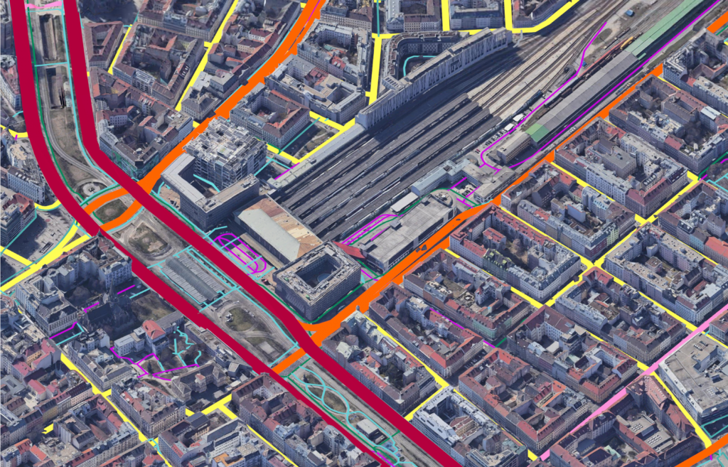
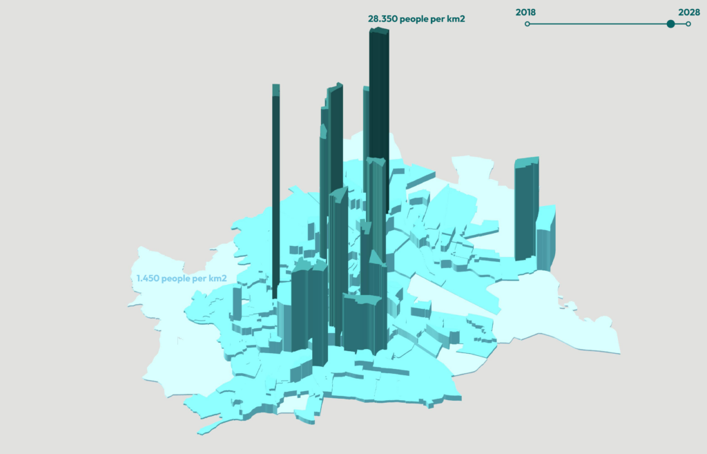
Datenquelle: Stadt Wien, https://www.data.gv.at/auftritte/stadt-wien